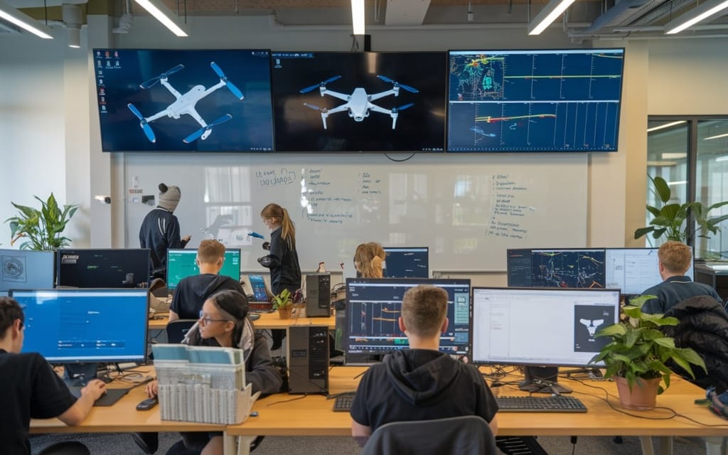
Drone Data Processing Training Course - Drone Pilot
Course overview
The Drone Data Processing Training Course is tailored for drone pilots seeking to master the art of analyzing and interpreting aerial data. This course delves into the intricacies of processing and managing data collected from drone flights, including photogrammetry, orthomosaic creation, and 3D modeling. Participants will gain hands-on experience with industry-standard software for data analysis and learn techniques for extracting actionable insights from aerial imagery. By the end of the course, students will be adept at transforming raw drone data into detailed, useful information for applications such as surveying, mapping, and inspection, enhancing their ability to make data-driven decisions and deliver comprehensive reports.
LEARN GIS & USE YOUR DRONE DATA

Course Content
Get Trained on Geospatial Technologies
Learn about Advanced Photogrammetry
Hands-on with Real Time Drone Data
Introduction to Remote Sensing Applications
Sessions on Latest Sensors – Visual (RGB), LiDAR
Remote Sensing, Photogrammetry and LiDAR.
Practice Assignments on Mapping, Orthomosaics, Thermal Imagery.
